



















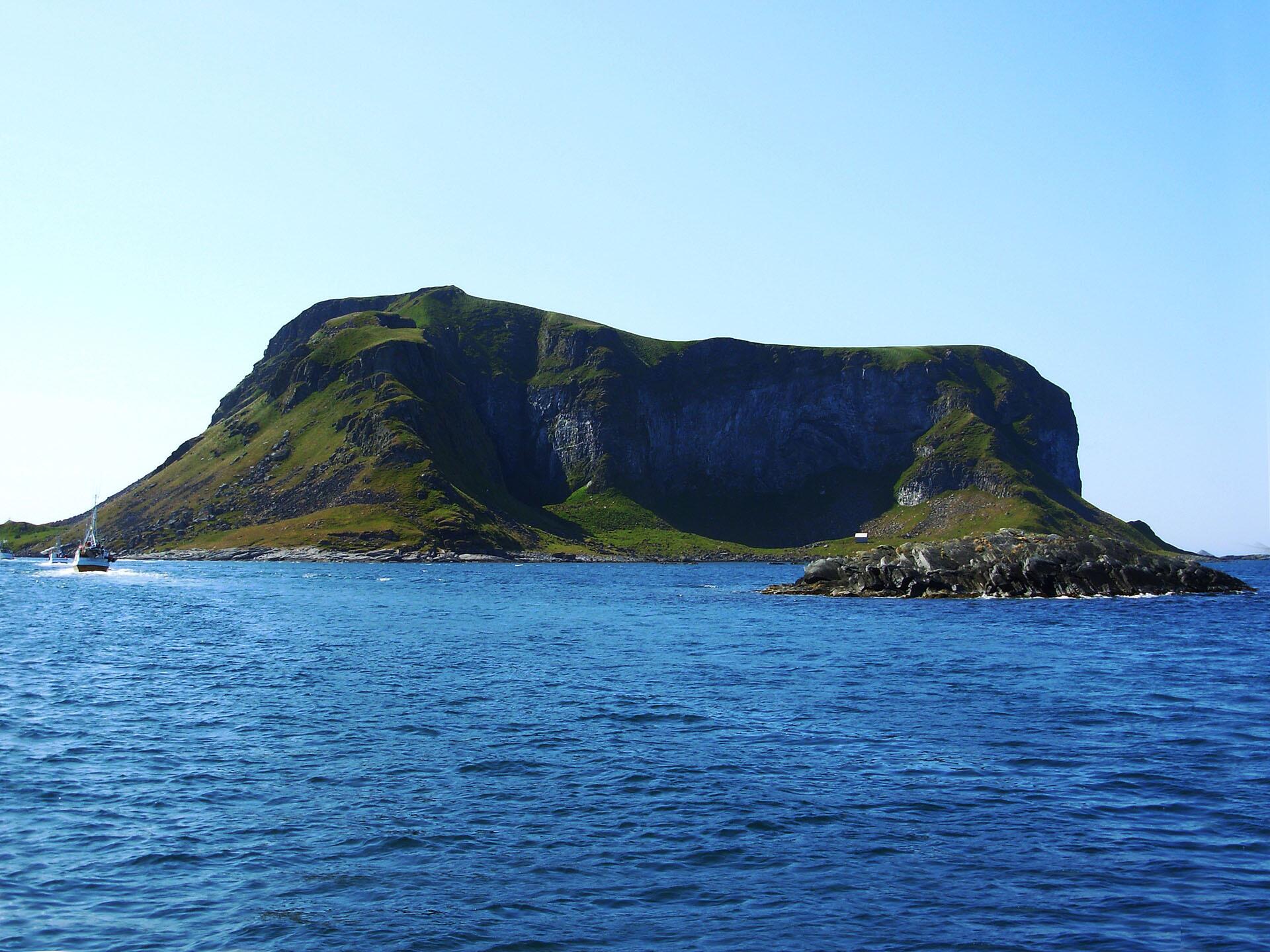

There are many traces of early man on Lofoten and in the Røst archipelago there are traces of early settlement on the uninhabited islands. Archaeologist Leif Erik Narmo has researched Sami traces on Lofoten and says the longhouse building is a Germanic, Norse settlement while the gamme sod houses are Sami. This summary is in accordance with a historical research tradition on these sod houses. However, we do not know to what extent the people who lived in these house types at that time had an understanding of their ethnicity.
Sami traces in Hyttebukta
Narmo highlights Hyttebukta in the Røst archipelago, also called Grindteigen, on Vedøya as somewhere with Sami traces and where he describes there is ‘an example of early settlement in the Sami trapper lands.’ There are registered here 26 sod houses at different heights above the sea, on beach terraces of between around six and around eleven above sea level. There are also other cultural relics in the bay, such as stone walls for capturing animals and bird trapping cabins.
Sod house from the early Metal Ages
Most of the sod houses are pit sod houses with internal dimensions of 4.5 m x 3.5 m and dated to 2900 to 2600 BC. There are also three sod houses after a pit house. They are significantly larger than the others, all the way up to 10 m x 9 m. These are from the early Metal Ages, around 1900 to 1500 BC. One of the sod houses is a round gamme sod house which has a diameter of four metres and is surrounded by a 1.5 meter thick rampart. This sod house is dated to the end of the early Metal Ages, from 520 to 190 BC. There are also sod houses which previously have been interpreted as a number of pit sod houses side by side. Narmo however believes that there are grounds to see this as a number of adjacent rooms in a Norse longhouse, or perhaps preferably the remains of a Sami joint gamme as found in Lofoten and Vesterålen.
Housing quarters and stables in the same building
Joint gamme have housing quarters and stables in the same building, the housing quarter and the stable being separated by an aisle. The size and divisioning into rooms indicate that this can be correct.
The Lofoten cultural relic plan highlights Vedøya, as the sod houses support a continuous sequence which shows development from deep rectangular pit houses from the Stone Age, via shallow sunken pit houses in the early Metal Ages and round gamme sod houses around year 0. Along today‘s beach on Vedøya are also registered at least 14 boat landings and a stone jetty.
Vedøya is a short boat trip from Røstlandet.
https://en.wikipedia.org/wiki/Sami_people
Original text: Elisabeth Johansen / John Roald Pettersen
LOFOTEN – en kulturminneguide. Orkana 2018
Reference work:
Narmo, Lars Erik: Germansk fangstmark og samisk bosetning. Bårjås 2006
Translation to English: Alasdair Graham-Brown
Photo: Elisabeth Johansen